experience the bc monashees
conditions
19 cm new snow, -9.0 deg, snowing, light northeast winds..
It’s a powder day! New snow over previous settling storm snow and widespread wind effect treeline and alpine from moderate northwest winds. Total 80 cm storm snow over a melt freeze crust below 2000 m.
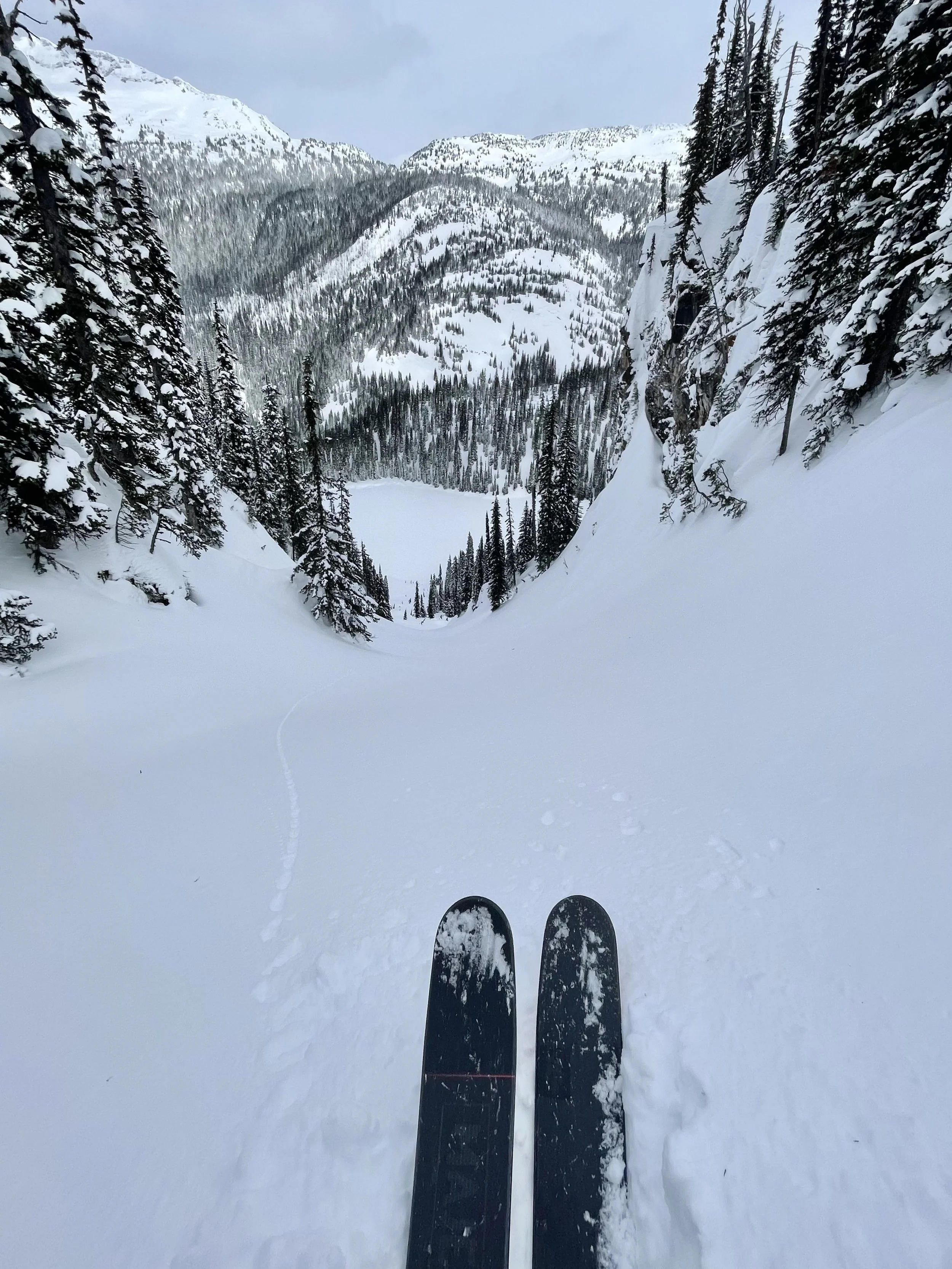
Avoiding wind effected terrain yesterday, skiing Sol Bowl, Fallopian (pic), Hindsight, Tunnel Vision, Blind Faith, Merlot, and Shiraz.
No new avalanches, skier triggered sluffs in steep terrain.
3 cm new snow, -16.0 deg, a few clouds, calm.
New snow and cool temps keeping it fresh out there. Widespread wind effect treeline and alpine from moderate northwest winds. Total 80 cm storm snow over a melt freeze crust below 2000 m.
Avoiding the wind yesterday, skiing Crystal Vision, Sol Bowl to Tubal, Tunnel Vision, Blind Faith, and Banana Belt.
No new avalanches, skier triggered sluffs in steep terrain.
3 cm new snow, -13.0 deg, clear, light southwest winds.
New snow and cool temps keeping it fresh out there. Total 80 cm storm snow over a melt freeze crust below 2000 m.
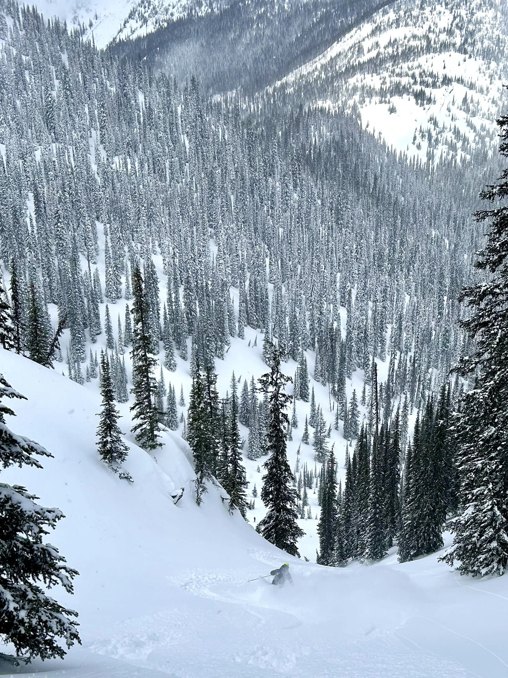
Good day for getting in it yesterday, clouds and flurries keeping us to treeline and below. Groups skiing all over - Ned, Dead, Shiraz, Merlot, Balfin Bowl, Shazam, Hollywood Chutes (see pic), Banana Belt, and Starbucks.
Natural windslabs to size 1.5 yesterday, ski cutting pockets.
16 cm new snow, -12.0 deg, snowing lightly, calm winds.
It just keeps coming. More fresh blower over previous settling storm snow. Total 80 cm storm snow out there, over a melt freeze crust below 2000 m.
Exchange day yesterday. New guests getting deep in Shazam, Baldurzone, Banana Belt, and Hoods in da Woods.
A few natural pockets of windslabs to size 1.5 yesterday.
44 cm new snow, -9.0 deg, snowing, mod northwest winds.
Fresh blower heavily blown by overnight mod to strong winds. Total 70 cm storm snow out there, over a melt freeze crust below 2000 m.
Yesterday was memorable storm skiing, March 11 2026. Fast light dry and deep. One group on Safari in C’est Bon, Twighlight Zone, and Merlot, and other groups in Shazam, Laid Back, Banana Belt, and Starbucks.
No new avalanches yesterday.
13 cm new snow, -9.0 deg, snowing, light southwest winds.
Fresh blower over yesterday’s blower. 35-45 cm light dry storm snow out there, over a melt freeze crust below 2000 m. Recent wind affect ridge top and alpine from north west. Generally a well settled snowpack.
About yesterday, it was an ethereal ski experience. Mix of sun and cool convective flurries. One group in South Caribou Pass area skiing Bermuda Triangle, and Avalung was so good they did it twice. Other groups in Dead Zone, Chardonnay, Repeater, and Shiraz for the home run.
No new avalanches yesterday.
5 cm new snow, -11.0 deg, overcast, calm winds.
Cool temps and convective flurries keeping it fresh out there. 25-35 cm light dry storm snow out there. Recent wind affect ridge top and alpine from north west. Generally a well settled snowpack.
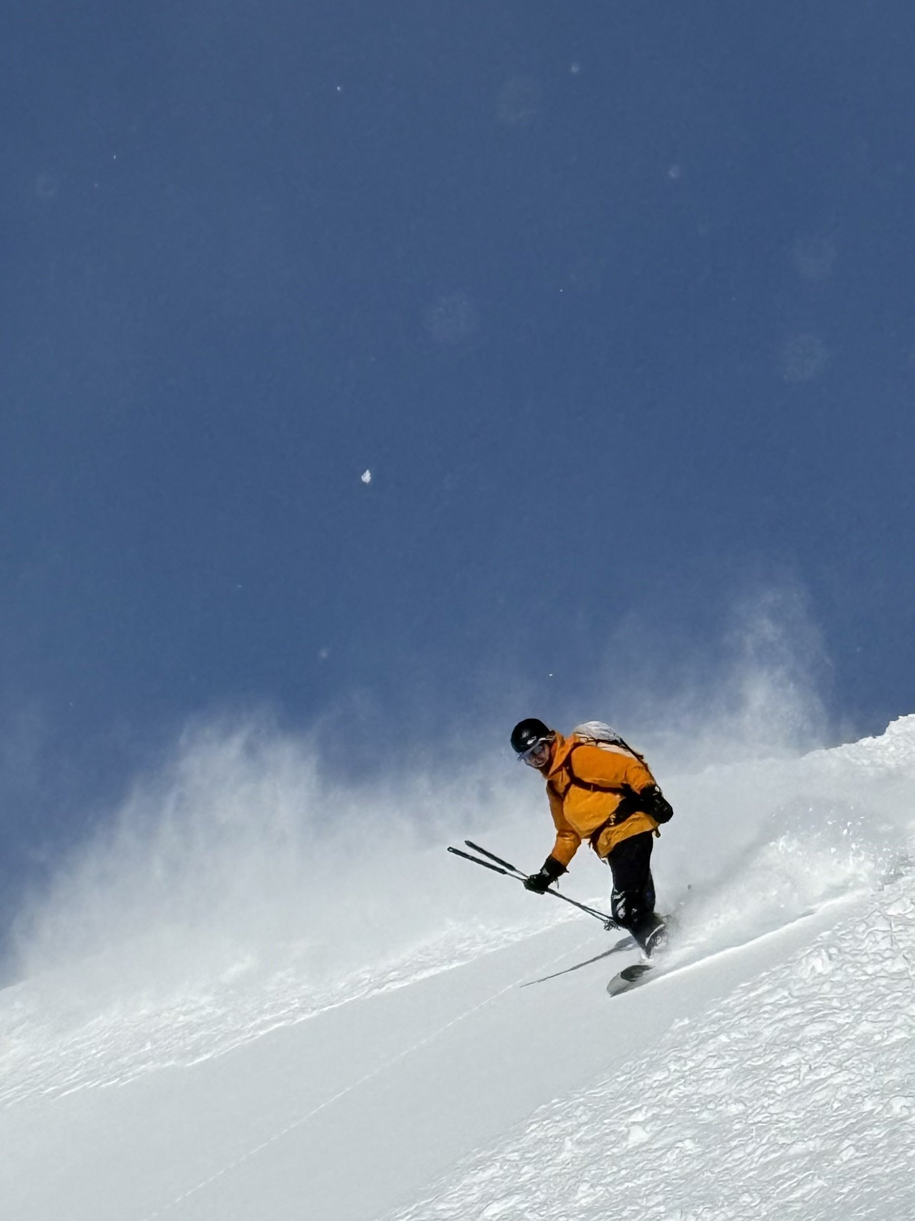
Wow, what a day yesterday! One group on a tour to Mt. Baldur skiing South Beach, Butter Glades, Balfin Bowl, and Laid Back. Another group skiing freshies in the sun in Shiraz (pic) and Merlot.
We did ski cut a few Size 1 fresh windslabs at ridge top features yesterday.
25 cm new snow, -9.5 deg, overcast, light west winds.
The winds shifted to the north yesterday, it cooled and snowed, and snowed more overnight. Fresh blower over previous settled above 2000 m, over a crust below. Generally a well settled snowpack.
Wise guests wait out the wind, thats what we did yesterday. Late start, skiied blower all afternoon on Repeater, Shiraz, Bunny Slope.
No new avalanche obs yesterday, limited visibility. Just good skiing.
8 cm new snow, -1.0 deg, overcast, moderate southwest winds.
New wet snow has formed a crust. Generally a well settled snowpack. Up to 90 cm storm slab overlies widespread Feb 13 surface hoar treeline and below, over sun crust on solar aspects. The Feb 13 interface is not reactive in recent snow profiles.
Exchange day yesterday, new guests skiing hot pow in Back to Basics and Merlot.
No new avalanche obs yesterday, limited visibility.
weather
View detailed snow forecast for Sol Mountain
View detailed Avalanche Forecast for South Columbia
webcam

March 13 Snow Depth = 405 cm
Meter Reader indicates snow height at bottom of number


